The new methodology will help geologists from DrilLife Group to more accurately plan field development and increase the number of extracted valuable components.
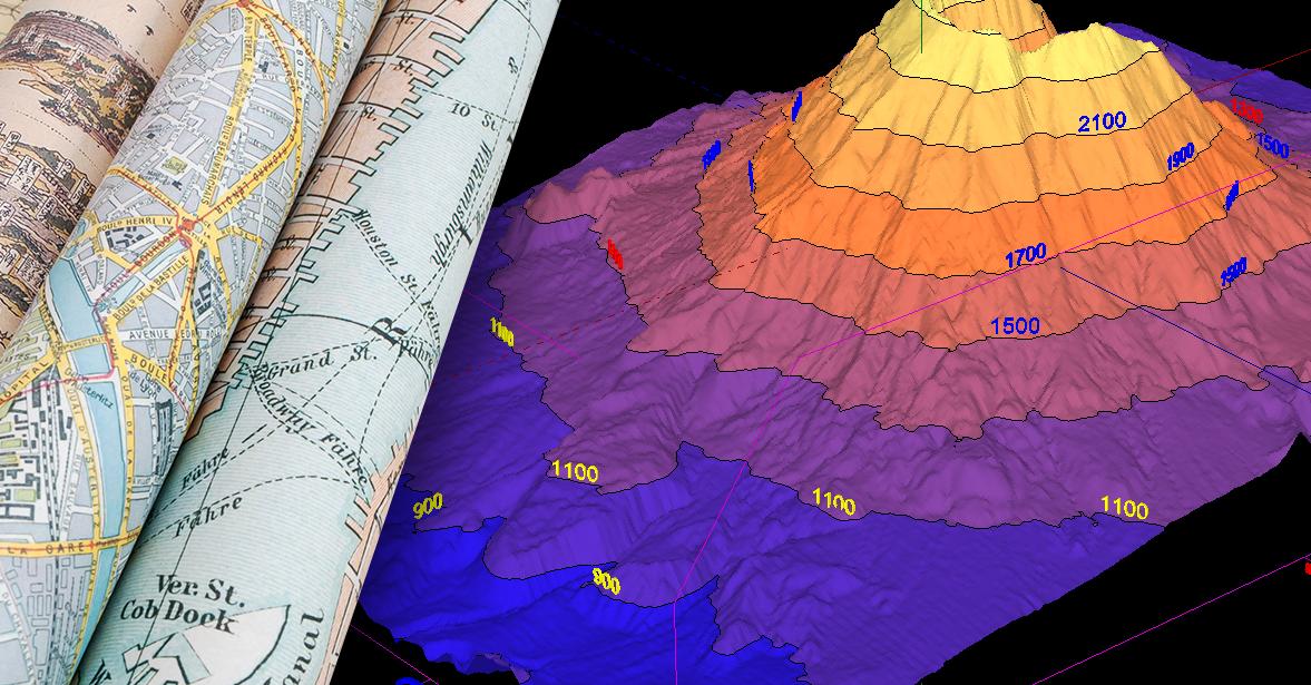
The technology of 3-dimensional mapping is simple: the operator introduces the original geological data in digital form, and the computer uses the software to produce a map.
When entering fresh data (information about a new well or a new seismic profile), the computer will easily produce a new map.
The problem is only in the complexity of initial data input for the development of a 3-dimensional map.
For many sedimentary basins, some digital information is already available. Thus, entering even one additional figure reduces the complexity.
Automatic 3-dimensional mapping requires special system software and specialized powerful computers.
These methods will help quickly create more accurate and unified models of deposits.
At the same time, the developed maps will avoid “human factor” – existing and sometimes contradictory scientific concepts about the origin of the object.